
Looking Up Your Salt Lake City Neighbors
Salt Lake City neighbors appear in several source-specific layers. GIS answers which parcels are nearby. The Assessor identifies a tax owner and parcel context. The Recorder follows a land interest. A directory places a person at an address for one edition. Voter status provides an individual registration result with privacy rules, while a community organization provides civic contact rather than a household roster.
| Source | What It Shows About a Block | Access |
|---|---|---|
| SLC and county GIS | Parcel geometry, IDs, footprints, districts | Free map viewers |
| Assessor parcel card | Owner, situs, serial, tax district, values | Public property query |
| Recorder / Archives | Plats, legal descriptions, recorded parties | Search, copies, appointment |
| Voter status | Individual registration and polling context | Privacy and purpose rules |
| Community organizations | Civic contacts, boundaries, meeting route | Official city pages |
An owner record is not an occupancy claim. A mailing address may be elsewhere, and a building can contain more people than a parcel card suggests. Label each result as parcel, owner, recorded party, directory-listed person, voter status, or civic contact. That discipline makes a Salt Lake City neighbor lookup useful without pretending it reveals a whole block.
The Salt Lake City maps service is the local starting point for parcels, boundaries, districts, zoning, and neighborhood layers.
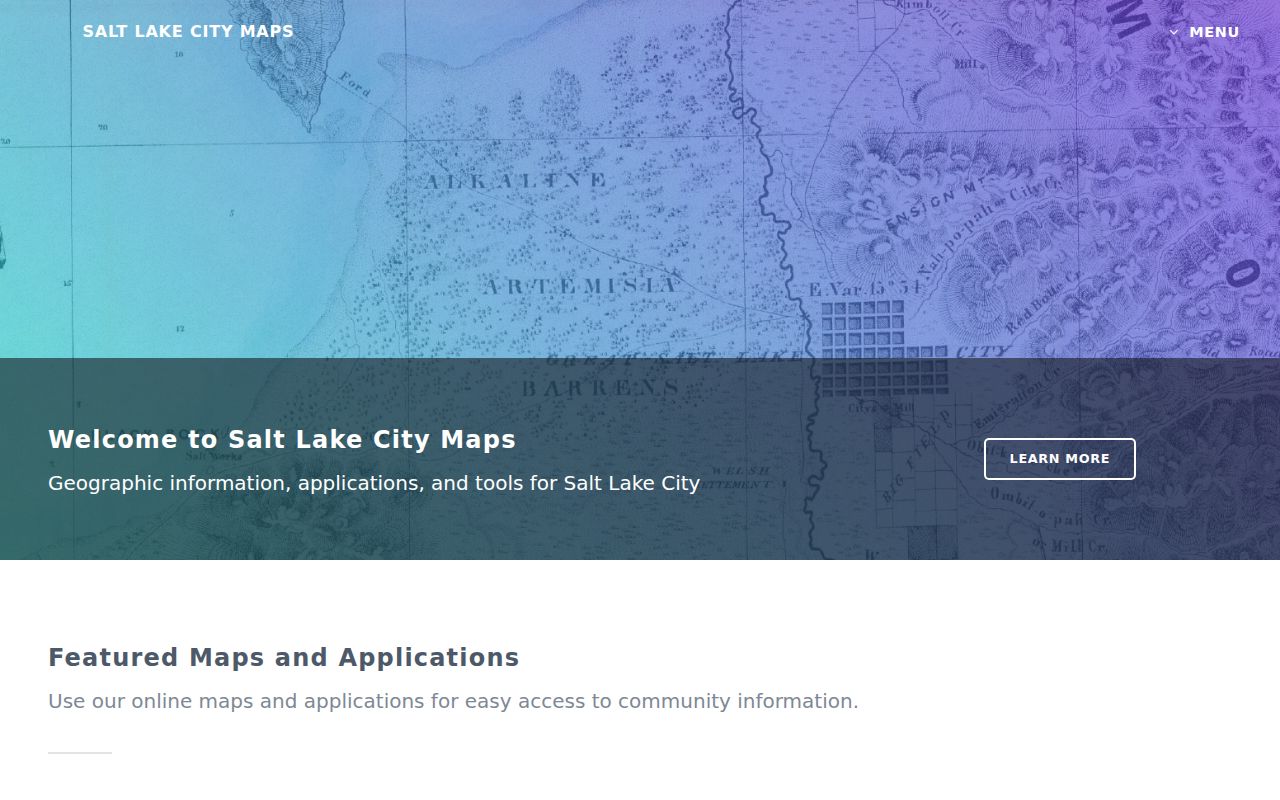
The map supplies geography first. Names and legal facts require the Assessor or Recorder.
Read Adjacent Salt Lake City Parcels
Neighbor research begins with geometry. Locate the subject address in the county or municipal map, click the surrounding polygons, and write down each parcel ID and situs address. Then open the corresponding assessor cards. The GIS layer can show parcels, building footprints, tax districts, and boundaries. The card can add owner, serial, acreage, property type, values, coordinates, and legal links. A shared screen edge is not enough to prove a legal boundary.
The Utah SGID parcel layer is a cross-check with address, ZIP, serial, acres, subdivision, house count, building size, and as-of fields. Keep the county card and map source named in the notes.
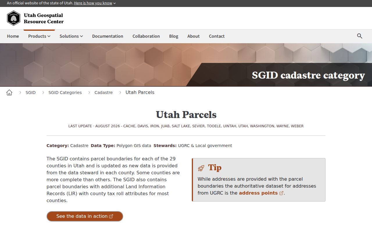
Statewide parcel data adds a machine-readable check, but the official county record remains the local reference.
Mapping a Salt Lake City Block: Parcels and Owners
Use a four-source block flow: subject address → GIS adjacent polygons → Assessor cards → Recorder plat and legal description. Add historical tax cards or reverse directories only after the current parcel relationships are clear. The result can list nearby parcels, situs addresses, owners of record, tax districts, values, legal descriptions, coordinates, and source dates.
- Locate the address in Salt Lake City maps or the County Assessor GIS viewer.
- Click every parcel that touches or fronts the subject block and record its ID and situs.
- Open each assessor card and label owner, mailing address, value, tax district, and parcel fields.
- Check the Recorder plat or legal description when a shared line matters.
- For a whole street, switch to the Salt Lake City street directory workflow.
A block map is strongest when every row names its source. It should not expose private identifiers or treat a mailing address as proof of occupancy.
Find Salt Lake City Community Organizations
Salt Lake City recognizes community organizations under City Code 2.60, and all City Council districts have community councils. The official community-council map and Recognized Community Organizations page are the right starting points for civic context. The research notes open participation, nondiscrimination, public meetings and input, annual renewal by January 31, and notice for certain land-use or major public-facility actions.
The city process can include a 45-day comment period and a 600-foot boundary in specified cases. Those organizations can help a person understand a block's civic route, but they do not publish a list of every household. The current complete RCO name and meeting directory was not exposed in the static research, so use the linked official list rather than guessing.
The Salt Lake City community councils page is the official umbrella route for neighborhood contacts.
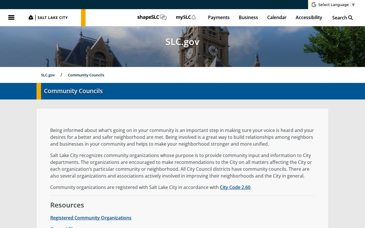
Community boundaries add a civic layer to the parcel map without turning participation into a resident directory.
Compare Block Records by Question
Different neighbor questions need different custodians. Use the table as a quick selection guide, then open the source record instead of combining fields into a new profile.
| Which parcels touch? | County or SLC GIS, then Recorder plat for a disputed line |
|---|---|
| Who is recorded owner? | Assessor card, with mailing and situs kept separate |
| How did land change? | Recorder and Archives instruments, tax rolls, and legal description |
| Who was listed before? | Polk/Crofutt reverse pages, tax cards, newspapers, and census sources |
| What civic group serves here? | Community council or Recognized Community Organization map |
Historical occupants are handled on a year-by-year basis. A reverse directory may show a neighbor at one date, while a tax card shows an owner or taxpayer at another. Note the gap rather than filling it with an assumption.
Use Voter Geography Carefully
Utah's voter tools can add precinct, district, polling place, elected officials, and sample-ballot context. The county address mode can display a black residence dot and district assignments. The individual status mode asks for a name, birthday, and house number. A statewide list request has a fee, permitted-purpose rules, and At-Risk omissions. It is not a free list of Salt Lake City neighbors.
Voter privacy changed in 2026 under SB153. Check the current Utah privacy page before relying on an older label. Safe at Home is separate and protects qualifying participants through a substitute address. Never publish a protected location or use a status result as proof of present occupancy.
The Salt Lake County voter privacy route explains the local request and protection context.
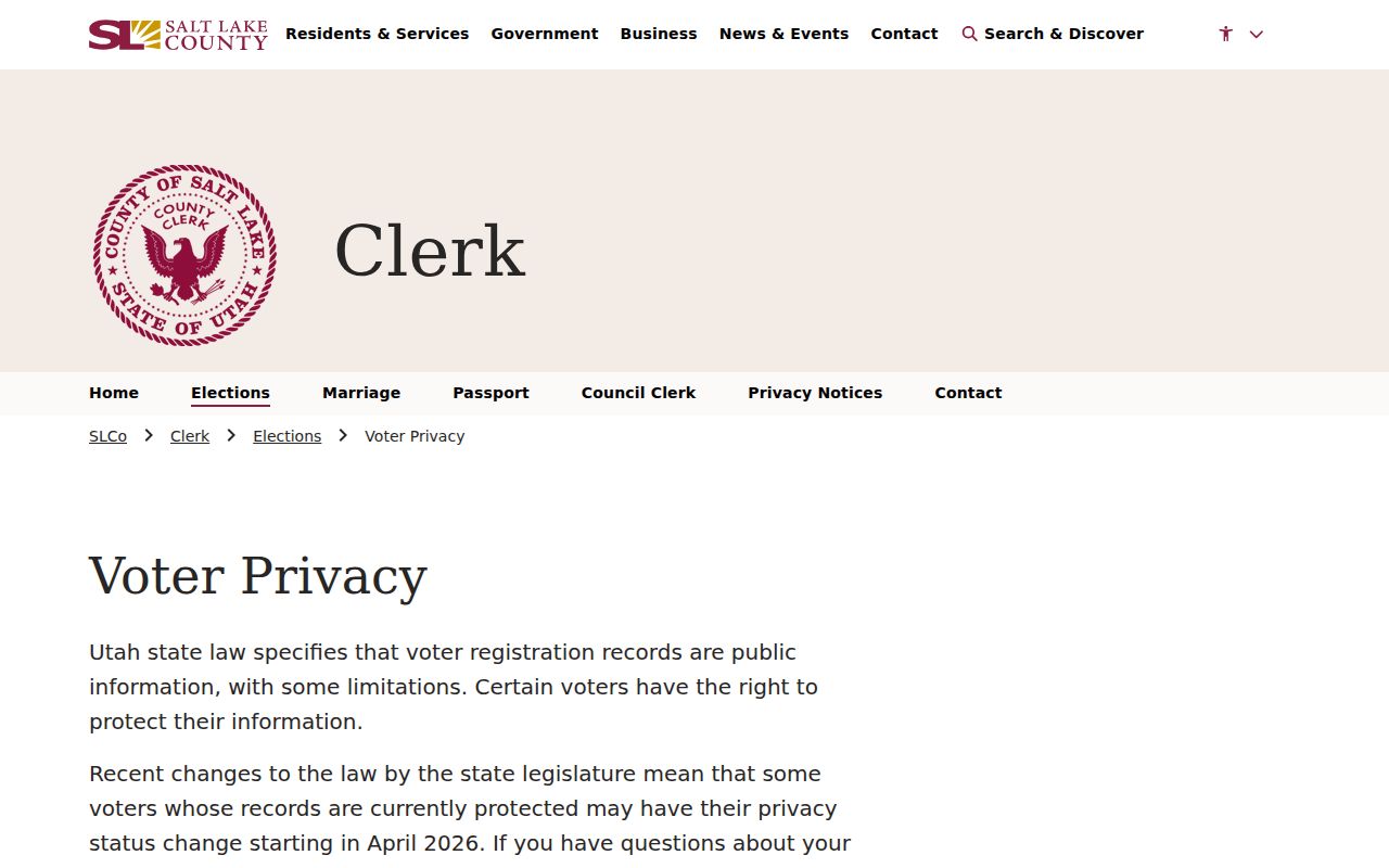
Privacy status can change, so save the date and source with any civic geography note.
See How a Salt Lake City Block Changed
Permits, appraisal cards, aerials, and Sanborn maps can explain a block's physical history. Salt Lake City permit research uses an address or permit number, then a red record number, Record Info, and blue attachment links. The city's guidance distinguishes online-submitted material after 2007 from an FAQ describing public permits and inspection reports from 1979 onward. Older or missing records may require the historical route or GRAMA.
County appraisal cards can show footprint drawings, rooms, additions, stories, garages, year built, and appraisal dates. Aerials from 1952, 1958, 1964, 1979, and 1990/current can show land-use change. Sanborn maps add building materials, use, and street context. These sources describe structures, not the identity of every person on the block.
A useful block note can list the subject parcel, adjacent parcel IDs, situs addresses, owner-of-record names, tax district, acreage, property type, legal description, map coordinates, and source date. Mark whether each field came from GIS, the Assessor, the Recorder, or a civic map. Do not copy private identifiers from a record image.
If a block crosses an incorporated boundary, repeat the map and records check for the correct jurisdiction. “Salt Lake City” in a mailing label can describe delivery rather than municipal control. The same care applies to ZIP and precinct layers, which can shift or overlap without changing parcel ownership.
For a careful human-use note, keep the search date beside every map layer and distinguish a parcel's situs from an owner's mailing address. A community council boundary can explain where to ask about a public meeting, but it cannot confirm a private person's residence. When a parcel is split, merged, or renumbered, compare the legal description and tax serial before treating two addresses as the same place. This gives a future reader a clear geography trail without turning a block map into a list of people.
Privacy Limits on a Neighbor Lookup
A neighbor lookup does not show every household member, renter, utility customer, delivery recipient, or person connected to a building. Safe at Home restricts actual addresses for eligible survivors, voter At-Risk protections can omit or anonymize records, and the DPPA limits motor-vehicle personal data. Courts, vital records, and recorded images have their own private or sealed fields.
Commercial neighbor tools may copy public sources, charge for access, and contain stale or mixed identities. Official rolls and maps at least identify the custodian, source date, and record role. Neither category should be used to publish a protected address or approach someone because a search returned a name.
The Recorder Property Watch route is a safer local reference for deed-fraud alerts than an unsolicited notice.
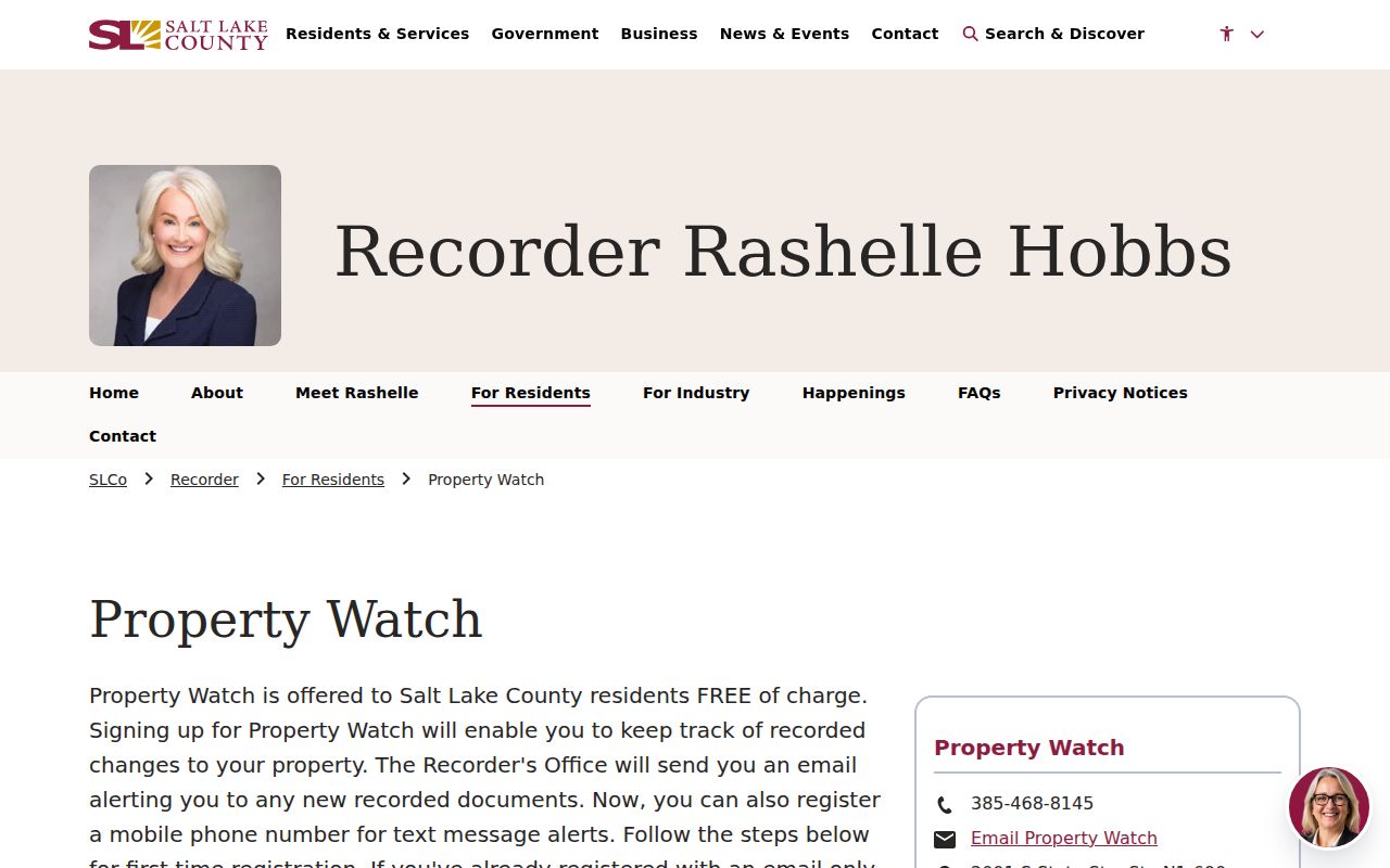
Verify a land notice with the custodian before treating it as a fact about a neighbor or parcel.
Lawful use. Salt Lake City neighbor research is for block history, civic understanding, reconnecting, and ordinary personal safety awareness. Utah stalking law covers repeated monitoring, observing, approaching, and contacting people, so a public result never authorizes harassment or intimidation.