
Finding Who Lives on a Salt Lake City Street
A useful address search moves from a situs address to a parcel, then to a source that fits the question. “Situs” means the place where the parcel or building is located. The Assessor can return an owner, parcel, tax district, values, and property traits. The Recorder can connect that parcel to recorded deeds, liens, plats, and other instruments. Neither office is an occupancy list. A voter status result and a historical directory entry add different kinds of residence evidence.
Walk one address at a time. Record the query date, parcel number, situs wording, and source. If a Salt Lake City street crosses a city or county line, repeat the search with the right custodian. A mailing city may not match the legal city, and a long street may use more than one ZIP or map layer.
- Run the street number and name through the Salt Lake County Assessor, then note the parcel and situs address.
- Open the county or city GIS map and mark the parcels that front the same block.
- Use the county voter form for an individual status question, not as a block-wide household list.
- Open the Recorder's public search by address or parcel, then follow document and legal-description clues.
- For past households, compare reverse directories, tax cards, permits, newspapers, and cemetery or census evidence.
Salt Lake City Assessor Fields Matter
The classic Salt Lake County Assessor query is the main starting point. Owner Name uses a last-name-first format and needs at least three letters. Frontage Number can be searched alone. Direction, street name or number, street type, and parcel number divide a busy street into smaller sets. The first seven parcel digits can search a block; the optional final four digits identify an encumbrance portion of the parcel.
| Field | Use | Format note |
|---|---|---|
| Owner Name | Find a tax owner | At least three letters; Last, First |
| Frontage Number | Limit a street search | May be searched alone |
| Street Name or Number | Find situs parcels | Pair with direction or type when needed |
| Parcel number | Find a parcel or block | First 10 digits, optional final four |
The result can link to a property type search, interactive parcel map, tax information, and a printable card. A sample card may show owner names, situs, acreage, tax district, values, coordinates, legal description, recorded-document links, and a CAMA data date. Fields can be blank or differ by parcel, so preserve what the selected card actually displays.
The Assessor screen for a Salt Lake City street shows the separate owner, frontage, street, and parcel controls.
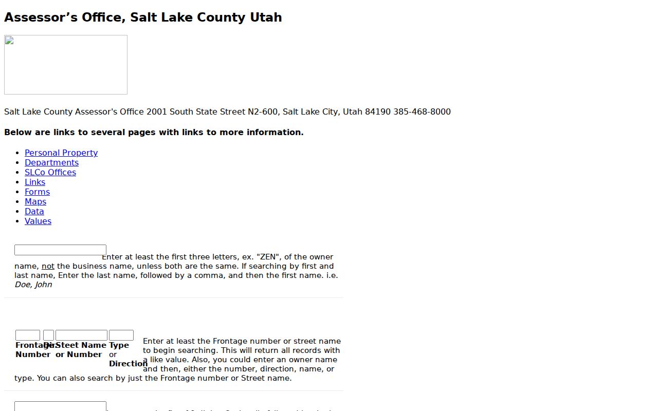
Use the search controls to locate a parcel, then treat the card as tax information rather than a statement that an owner lives there.
Map Salt Lake City Parcels Along a Street
County Assessor GIS and the County Surveyor mapping service add the spatial layer the address search needs. Click the subject parcel, note adjacent polygons, and compare building footprints, tax districts, aerials, and boundaries. Salt Lake City maps add city parcels, zoning, council districts, engineering projects, and neighborhood representation. The Utah SGID parcel service can cross-check ZIP, serial, acreage, values, subdivision, house count, stories, and built-year fields, with its own as-of date and disclaimer.
Maps are visual tools. A shared edge on a screen is not a legal boundary, and a parcel outline does not show every person using a building. Confirm a disputed line through the Recorder's plat or legal description. For a full block, make a simple list of house numbers and parcel IDs before opening each card.
The Salt Lake County Assessor GIS page is the official map entry point for parcel context.
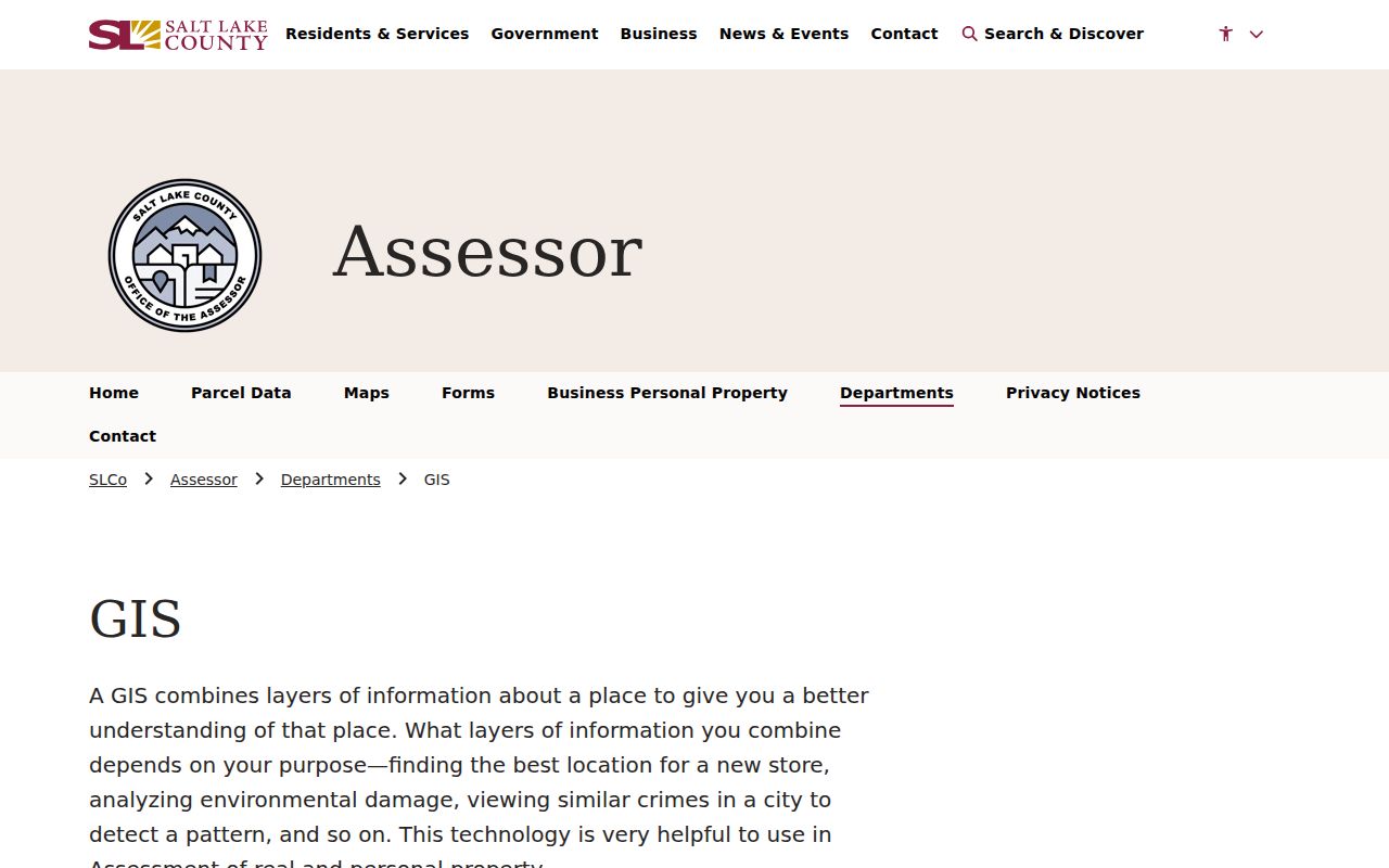
The map helps divide a long street into blocks and flags the point where a city, county, ZIP, or civic layer changes.
Keep Salt Lake City's 1920 Grid
Old street names and numbers can defeat a modern address search. Salt Lake City code identifies an official street map filed December 3, 1920. Older numbering language aligns city and county addressing and describes one number every 8.25 feet. Directory pages may use First South, South Temple, Fifth East, or Second West. Preserve that orientation while searching a historical street directory.
Do not make up a conversion when a historic number fails to geocode. Check the reverse directory, tax serial, plat, Sanborn map, and ordinance or map record. The 1919 directory also reaches Murray, Midvale, Sandy, Garfield, and other valley suburbs, so the volume's scope matters before a street listing is assigned to Salt Lake City.
Salt Lake City Records Searchable by Street
Address-keyed records can be chained, but each record set answers a different question. The table keeps the main sources separate.
| Record Set | Keeper | What It Shows | Access |
|---|---|---|---|
| Assessor card | Salt Lake County Assessor | Tax owner, situs, parcel, values | Public query |
| GIS map | County Surveyor / SLC | Parcel geometry, zoning, districts | Public viewer |
| Deeds and liens | Salt Lake County Recorder | Recorded parties, instruments, legal description | Search and paid copies |
| Voter status | County Elections | Individual registration and polling context | Privacy and purpose rules |
| Building permits | Salt Lake City Building Services | Project, inspection, contractor, attachments | Online and historical routes |
The parcel number ties the tax card to the Recorder and GIS. A permit can add a project date or contractor, while a directory can add a time-specific listed occupant. The county voter form uses a person, birthday, and house number. The chains meet at an address, but they do not become one proof of current residence.
Follow a Salt Lake City Deed Trail
The Recorder's Public Property Search begins with terms, then an address or parcel selected from an autocomplete list. Data Services describes owner of record, parcel history, legal descriptions, recorded documents, tract index, chain-of-title clues, and subdivision or plat maps. If an address fails, try the parcel number or legal description. The public notice says data may be 24 hours old or older and that a title search may still be needed.
When the index entry is known, the Recorder's document request accepts party names, dates, document type, book or page clues, and a choice of regular or certified copy. Copies are $2 per page, historical copies $5 per page, and certification adds $5 plus page charges. A request can be picked up during office hours, and some account users can request email delivery.
The Recorder public property search shows the address and parcel lookup route.
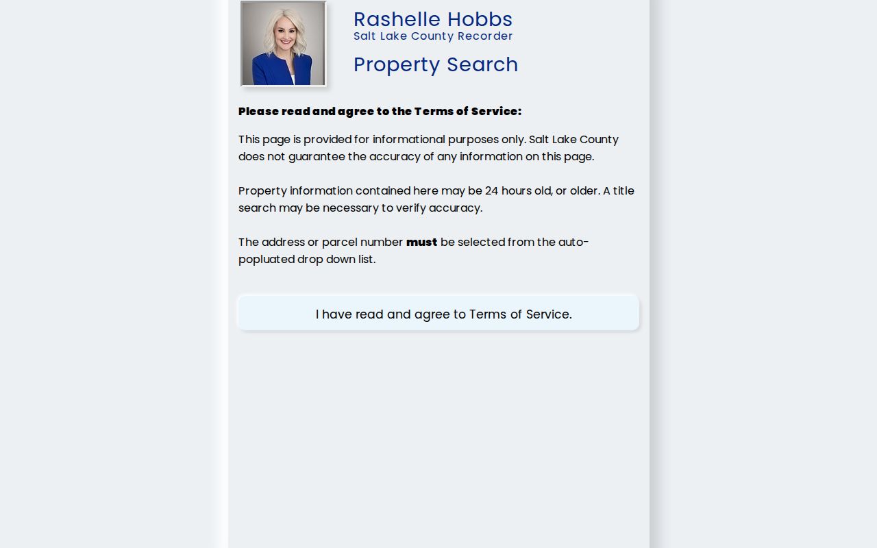
The public search is an index path. Request the document when the legal description or party relationship needs proof.
Date a Street With Permits and Aerials
Salt Lake City Building Services directs a researcher to Building, Check or Research Permits, then an address or permit-number search. A partial address may work. Open the red record number, choose Record Info, and inspect blue attachment links. The instructions emphasize online-submitted material after 2007, while the FAQ describes public permits and inspection reports from 1979 to the present. Treat that difference as a portal-era caveat and use the historic route or GRAMA for older gaps.
County Archives adds appraisal cards, photographs, tax ledgers, permits, and aerials. Assessor photographs began in 1934. Permit application cards from 1948–1969 can name architects, designers, contractors, and original owners. Aerial sets include 1952, 1958, 1964, 1979, and 1990/current. These records date physical change, not who occupied the building.
The County Surveyor GIS route describes aerial and boundary services used beside the street directory.
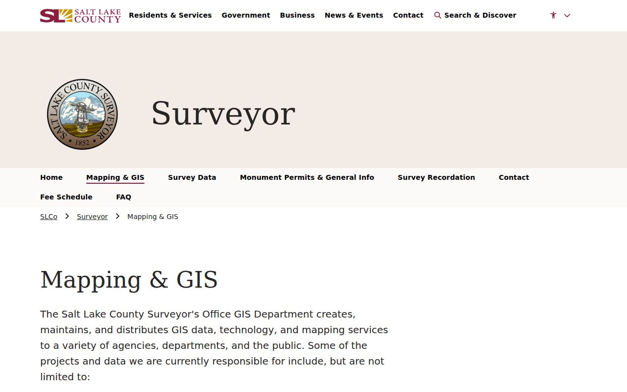
Physical evidence can explain why an address card, map, or directory listing changes between years.
For a street that crosses a boundary, repeat the check with the correct city or county custodian. Salt Lake City maps and county maps can use different layers, and a ZIP polygon may include land outside the city. The safest street directory note names the map, parcel source, and date together.
The Salt Lake City map viewer adds city parcels, zoning, districts, building footprints, and neighborhood representation.
City map layers add local context, but the Recorder remains the source for the legal land description.
Separate Address Terms in the Directory
A street search goes wrong when several address labels are treated as synonyms. Use these plain meanings as a quick check.
- Situs address
- The location of the parcel or building, used by the assessor and emergency-address systems.
- Mailing address
- Where an owner or taxpayer receives notices. It may be outside Salt Lake City.
- Legal description
- The lot, block, plat, or other land description used in recorded instruments.
- Plat
- A recorded map that lays out lots, blocks, streets, and related land divisions.
- Criss-cross directory
- A historical directory arranged by address or street, often paired with alphabetical names.
That vocabulary keeps the Salt Lake City street directory honest. A card can show a mailing address but not an occupant. A plat can confirm a line but not a household. A reverse directory can show a listed resident for one edition, not a current neighbor.
For a modern street, keep a compact research ledger with the house number, street wording, parcel number, owner name as displayed, situs, mailing address if shown, tax district, linked document number, and source date. Add the ZIP and civic layers only as context. For a historic street, add the directory edition, page, abbreviation key, and whether the name came from the alphabetical or reverse section.
This approach also makes handoffs easier. A reader can see whether a name came from a deed, tax card, permit, voter status result, or directory. If the result is uncertain, say why: old number, OCR, missing year, different jurisdiction, or an unverified map edge. Precision is more useful than a long list of names.
What a Street Directory Cannot Show
A Salt Lake City street directory cannot supply every person connected to an address. Public assessor data is tax information. A Recorder instrument names parties to a legal transaction. A directory lists a person at a past time. Utah voter tools protect some fields and limit list use. Motor-vehicle personal information is restricted by the federal DPPA, and utility customer lists are not a public resident roll.
Do not publish full dates of birth, driver's-license numbers, Social Security numbers, private phone or email data, or an At-Risk or Safe at Home address. A negative result may reflect a closed record, an old parcel number, OCR error, or a coverage gap. When a line matters, ask the custodian for the record and preserve the source date.
Lawful use. Salt Lake City address records are for personal, lawful research such as family history, house history, or civic curiosity. Utah stalking law covers repeated monitoring, observing, approaching, or contacting people, so a public result never authorizes harassment or intimidation.