
Salt Lake City ZIP Codes and What They Cover
Salt Lake City ZIP codes cluster around downtown, the Avenues, Rose Park, Glendale, Liberty Park and the southeast, Sugar House, and the Foothill or East Bench. The official small-area associations are useful orientation, but the postal directory must keep delivery, mapped polygons, and municipal limits separate. Some entries are unique or institutional, and a ZIP can extend beyond a neighborhood label.
| ZIP Code | Areas Covered | Post Office | Notes |
|---|---|---|---|
| 84101 | Downtown | Verify with USPS | Central mailing area |
| 84102 | Downtown / east-central | Verify with USPS | Residential and institutional mix |
| 84103 | Avenues | Verify with USPS | Small-area source also lists 84150 |
| 84104 | Glendale / west city context | Verify with USPS | Related unique ZIPs appear in the area source |
| 84105 | Southeast / Liberty Park | Verify with USPS | Neighborhood association in state source |
| 84106 | Sugar House | Verify with USPS | Area source also lists 84152 |
| 84108 | Foothill / East Bench | Verify with USPS | Area source also lists 84158 |
| 84111 | Downtown civic core | Verify with USPS | Exact delivery use varies by address |
| 84116 | Rose Park | Verify with USPS | Area source also lists 84122 |
| 84180 | Glendale context | Verify with USPS | Check for unique or institutional use |
The full local association includes 84112, 84113, 84114, 84122, 84133, 84145, 84147, 84150, 84151, 84152, and 84158. The research does not establish a complete current USPS station table, so verify a specific delivery point. ZIP polygons are approximations and can include PO boxes, government or organizational delivery, and land outside the legal Salt Lake City boundary.
The Utah ZIP Code Areas map records a west-side polygon update in November 2025 and current 2026 maintenance information.
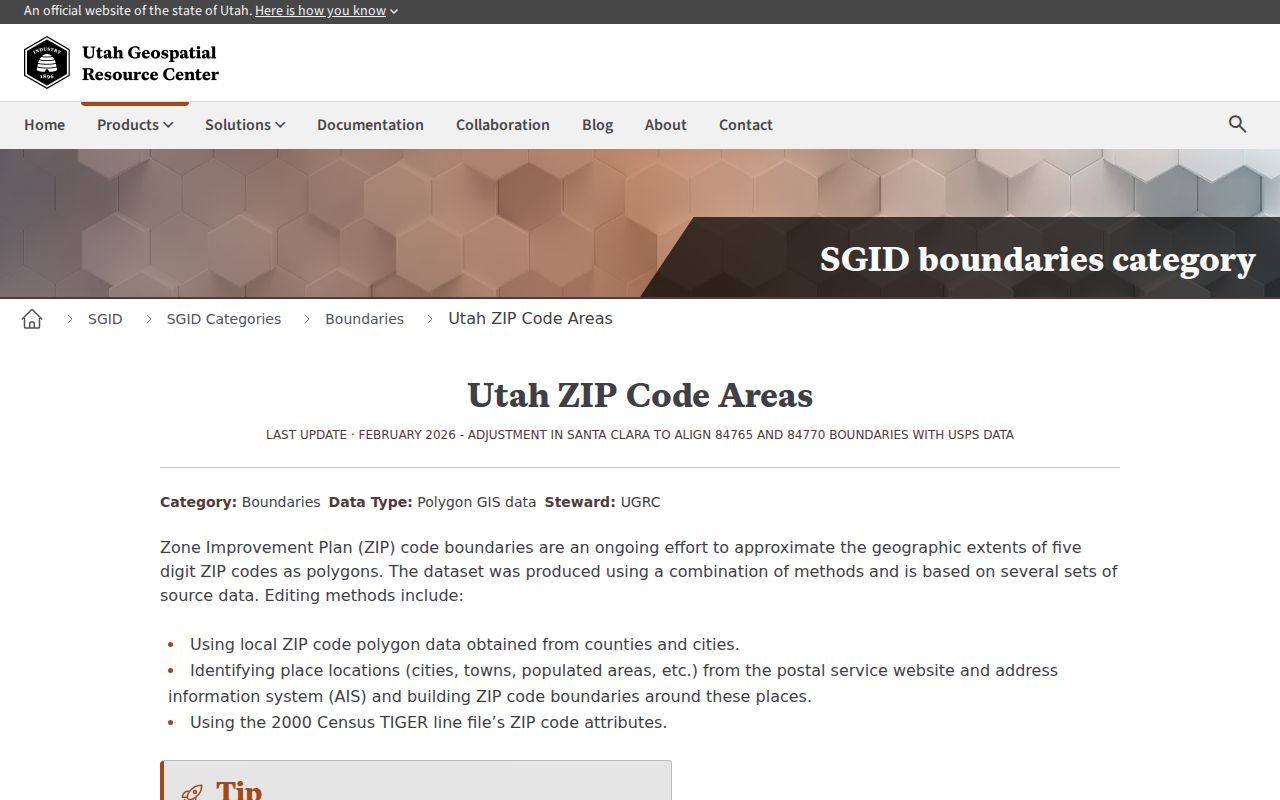
The update history is a reminder to save the layer date with any ZIP-based research result.
Salt Lake City ZIP Layers Can Change
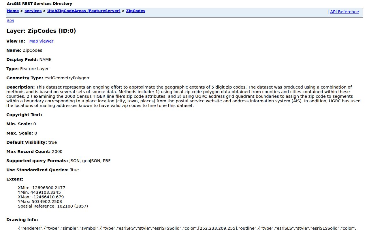
Utah SGID describes ZIP polygons as approximations built from county and city polygons, USPS address data, and older TIGER material. The research notes a Salt Lake west-side polygon update in November 2025 and current 2026 update information. That is a data-layer change, not proof that a street moved or a city boundary changed. Keep the service date, ZIP5, and source layer together.
Salt Lake City also has a municipal REST ZIP layer with fields including county number, name, symbol, and ZIP5, plus a query limit of 2,000 records. It can help map a ZIP before a parcel search. Do not use a polygon as a resident list or assume that every place within it uses the same mailing city.
The Salt Lake City ZIP feature layer supplies queryable local polygon context.
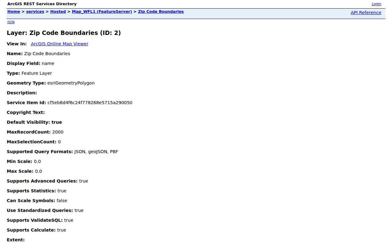
A local polygon is best treated as a map filter before an official address validation.
Finding Residents by ZIP Code
ZIP filtering works best after the address is standardized. County assessor cards can show a situs address and ZIP where available. Utah SGID parcel attributes include ZIP. Salt Lake City maps combine ZIP and parcel layers. Utah business data requests accept comma-separated postal codes, while the voter file is not a simple public resident list and carries fee and purpose limits.
- Check the address in USPS by street, city, and state, then test the returned ZIP.
- Use the Utah or Salt Lake City ZIP polygon to see the mapped area.
- Filter parcel or business records by ZIP where the official portal supports it.
- Move from ZIP to street, parcel, or person, and label what the result actually establishes.
Once a ZIP narrows the area, switch to the Salt Lake City street directory for parcel-by-parcel work. A ZIP filter identifies geography, not a household. The assessor and Recorder supply the next source-specific checks.
The USPS ZIP Code Lookup exposes three search modes and the fields below.
| By Address | Optional company; required street; optional unit; required city and state; optional ZIP |
|---|---|
| By City and State | Required city and state |
| Cities by ZIP | Required ZIP Code |
| Controls | Find, Edit and Search Again, and Look Up Another ZIP Code |
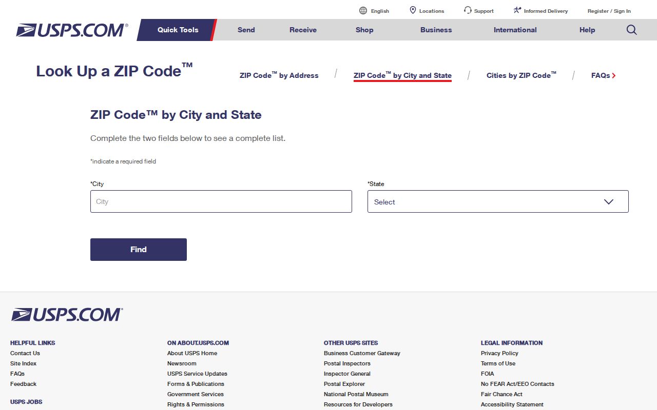
USPS warns that a result does not confirm a person or company is at an address and may return a standardized city name.
When a ZIP narrows a long street, parcel searches can divide the area by address or first parcel digits. The county assessor card may show the situs ZIP, and the Utah parcel layer adds a ZIP attribute. Keep the ZIP as a filter, then use the street or parcel record for the next fact.
Downtown Salt Lake City ZIP Context
Downtown groupings in the local source include 84101, 84102, 84111, 84112, 84113, 84114, 84133, and 84147. A listed ZIP may serve homes, civic buildings, offices, or a unique delivery point. The small-area table is not a complete USPS directory, so the postal directory should describe these as associations to test, not as exclusive neighborhood lines.
For a downtown address, first use USPS by address. Then compare the Salt Lake City map, the county parcel card, and the Recorder if the question concerns land. A downtown ZIP alone does not identify a person, owner, or building occupant. Government or institutional delivery can explain why a ZIP appears in the table without a matching residential street pattern.
Compare West-Side and East-Side ZIPs
The local geography associates 84104, 84145, 84151, and 84180 with Glendale context; 84103 and 84150 with the Avenues; 84105 with Southeast and Liberty Park; 84106 and 84152 with Sugar House; 84108 and 84158 with the Foothill or East Bench; and 84116 and 84122 with Rose Park. These pairs show why a named neighborhood is a useful search hint, not a postal guarantee.
When a result seems odd, compare four layers: the mailing answer from USPS, the ZIP polygon, the county parcel, and the city boundary. Save screenshots or source dates when a project depends on the result. Utah SGID and the Salt Lake City REST layer are map tools, while USPS decides address standardization.
Historic Salt Lake City Records Lack ZIPs
A Salt Lake City city directory from 1885–86, 1890, 1902, or 1919 will usually be found by name, street, business, or address wording rather than a modern postal code. The 1919 edition reaches beyond the city into Murray, Midvale, Sandy, Garfield, and suburbs. Reverse pages, tax serials, plats, and Sanborn maps are better historical keys than a current ZIP polygon.
For a past resident, use the ZIP only to orient the present parcel. Preserve “First South,” “South Temple,” “Fifth East,” or “Second West,” then compare the old entry with County Archives tax cards, newspapers, and the Recorder. This keeps a postal directory from flattening a historical address into modern geography.
Filter ZIP Records Without Overclaiming
A postal directory can orient a search across downtown, the Avenues, Rose Park, Glendale, Sugar House, Liberty Park, and the East Bench, but the record keeper still controls the meaning. The assessor's ZIP or address context is about a parcel. A business-data ZIP filter is about registered entities. A voter file is governed by purpose rules and At-Risk exclusions. A historical directory may not contain postal codes at all.
The clean label is “parcel in ZIP,” “business record returned for ZIP,” or “USPS delivery result.” Avoid “resident in ZIP” unless a source truly establishes that narrow fact, which these tools generally do not. Save the map or portal date because ZIP layers and address data are maintained over time.
ZIP Code Boundaries vs Salt Lake City City Limits
Salt Lake City boundaries, Salt Lake County parcels, ZIP polygons, precincts, council districts, school areas, and USPS delivery cities can disagree. A Salt Lake City mailing label can appear near another municipality, while an address associated with the city may use a ZIP whose polygon is broader than the city. Use the city map and county parcel layer together, then let USPS decide the standardized delivery result.
- ZIP vs ZIP+4
- ZIP5 identifies a broad delivery area; ZIP+4 adds a smaller sector and delivery segment.
- PO-box ZIP
- A postal area organized around box delivery instead of a street parcel.
- Unique ZIP
- A ZIP assigned to a high-volume company, government office, or other entity.
- Carrier route
- A delivery path used by the postal system, not a civic boundary or household roll.
The USPS address tool also warns that multiple matches may need a unit number before a delivery result is trusted.
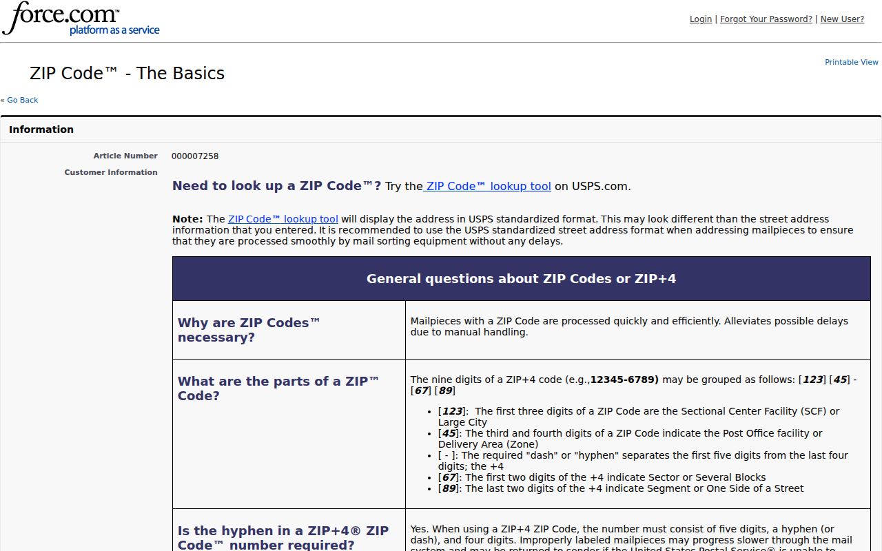
That unit-level check is the final postal step before moving into parcel or person records.
The postal result may use a standardized city name that differs from local map language. Record both values, and do not infer a city-limit change from the mailing label.
The Salt Lake County Assessor is the next source when the ZIP question becomes a parcel question.
A parcel card can confirm a situs address and tax context, but it still does not prove who occupies the property.